Hike #19
Date: April 11th
Hikers: Me & Jim
Location: Queen Creek AZ
Distance: 4 miles
Rating: Easy/Moderate
Time: 1 hour 30 minutes
History Link:http://www.maricopa.gov/parks/santan/
One of the few areas that I have not been to. It is a bit of a drive but looking for new hikes so off we go!
Jim and I headed out with the intention to do the North West part of the area. We parked at the Goldmine parking area with off Ellsworth to W Hunt Hwy to Wagon Wheel. There is a big lot. If you park in the lot you pay $6 and if you park on the street you pay $2. We parked in the street and paid $6. I read the rules on the ticket after we paid. Donation!!
The plan is to take Dynamite to the end which is 2.4 miles and return the same way. I read about the Goldmine trail which is also accessible to make a loop but it had a part that people said was very steep.


Perfect day. The trail is a very gradual incline.


We made it to the end of Dynamite quickly and kept going around the corner because my GPS was slightly off and we thought we would get more distance.
 |
| View to the South |


Switchback signs. Kinda cute. Glad the Grand Canyon does not have these. I think they are really for the bikers.
 |
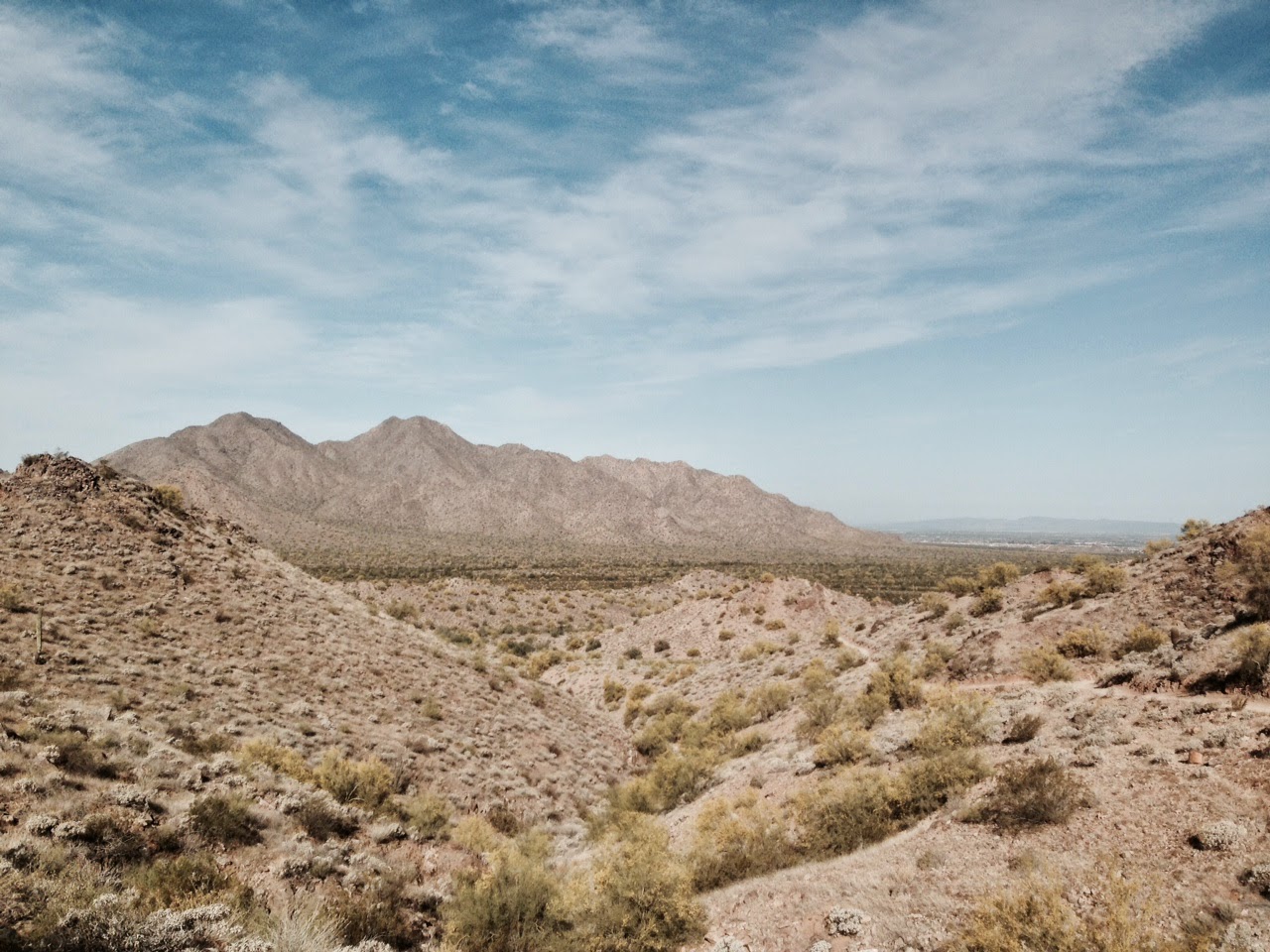
| View to the South East. Very Pretty. |


 |
| View South from MidPoint on Goldmine heading North. |
 |
| Jim lapped the ladies! |

 We made it to fake top where there was a bench. We caught our breath, confirmed if we continued up we would get back down towards the other trailhead. There were a couple of nice woman chit chatting with us - non biker.
We went up and then saw the steep part. I would say the problem is the loose rock not necessarily that is is so steep. It is one of the paths that you have to have your footing or you may slide or slip.


 We headed down carefully and soon was back on normal trail paths.
 We saw the cemetery to the left that I had read about. Mansel Carter & Marion Kennedy are buried here.
Here is a link to the two men buried in the grave.
http://www.santanhistoricalsociety.org/index.php/preservation/mansel-carter
We stopped and read their tombstones. Pretty cool. Back to the car and we were done. It was a nice hike. Too far for me unless I am working down in that area and have time. I am glad I can finally check that area off my list.
Stop at QT and Jim and I are happy hikers!

Accomplished #19
No comments:
Post a Comment