Saturday, December 6, 2014

Hike #5 Lost Dog Wash - McDowell Mountains - Scottsdale AZ

Hike #5

Date: December 6th
Hikers: Me, Tina & Jim

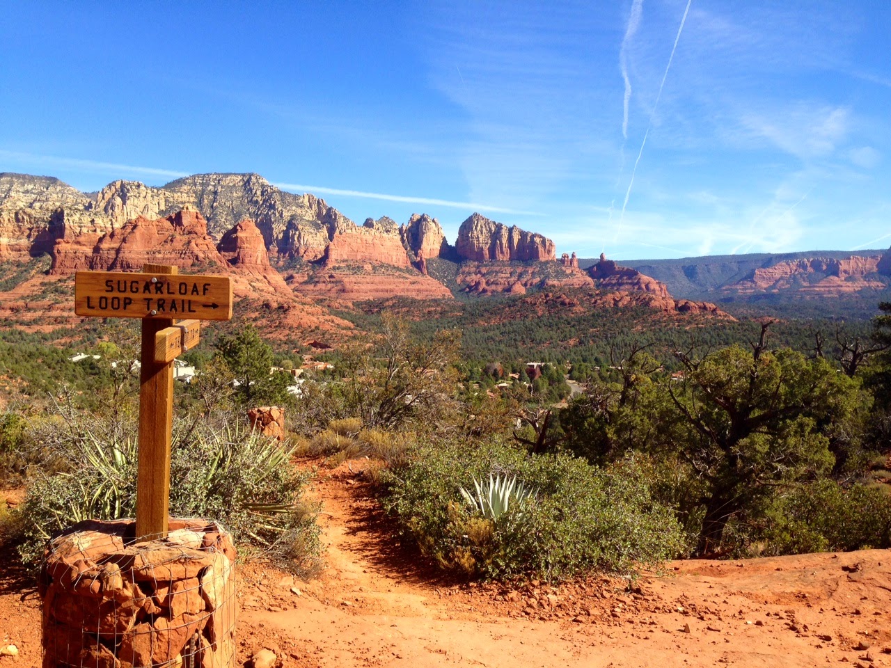
Location: Lost Dog Wash, Scottsdale AZ
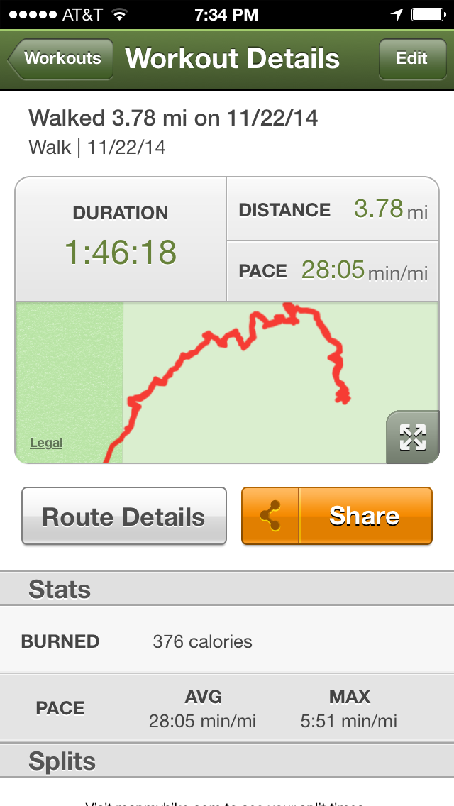
Distance:  4 miles
Rating: Easy
Time: 1.5 hours


Link:http://www.mcdowellsonoran.org/trailhead/displayLocation/5#sthash.dAce39k0.S4xlXyid.dpbs


Jim had a great idea to hike Lost Dog.  We have hiked Sunrise and the North side of the McDowell Mountains.  The parking lot was a pleasant surprise.  All new parking and restrooms.  We were early hiking at 7:30 and by the time we ended there were a lot of hikers, bikers and runners hitting the trail.

Nice easy hike.  Although on the Jeep road the rocks that stick up can be annoying.

We took Lost Dog Trail to the East, crossed Ring Trail. Headed West on the Old Jeep Trail, back to Ring Trail and then hit the Lost Dog Wash back to the trailhead.


 Beautiful Winter Sunrise on a Cloudy Day! 


Hike #5 
Done! 

Hike #4 - Wind Cave Usery Park - Mesa AZ

Hike #4

Date: November 22nd
Hikers: Me, Tina, Oz & Jim

Location: Mesa - Usery Park - Wind Cave
Distance: Less than 4
Rating: Moderate
Time: 1.5 hours


Link:http://www.maricopa.gov/parks/usery/pdf/2013/usery-11x17-3d.pdf


Pre-Thanksgiving Hike.  We decided to go back to Usery Park.  The Wind Cave is very popular with locals and tourists.  On this day is was packed.  We beat the rush going up but coming back their were boy scouts, families and lots of people that probably should not be out hiking.

Fun Hike.  Be careful though. There is some loose rocks that make this more than an easy hike for footing reasons.  Otherwise a fun one!


Small Parking lot but plenty of spaces along the street.  Nice restrooms.
Gate that you go thru to enter the Wind Cave Trail. 

Nice Path that you will share with lots of people.  

 Sign to the Wind Cave.  You can continue up the hill and do a little bushwhacking to the top.  Again sharing the road with lots of others.


 Tina copying my pose the week before.  Life it good!  


Hike #4 
Done! 

Hike #3 - TeaCup Trail - Sedona AZ

Hike #3

Date: November 9th
Hikers: Me & Julio

Location: Sedona - Tea Cup Trail
Distance 4
Rating: Easy/Moderate
Time: Less than 2 hours including stops


Link:http://www.fs.usda.gov/wps/portal/fsinternet/!ut/p/c5/04_SB8K8xLLM9MSSzPy8xBz9CP0os3gDfxMDT8MwRydLA1cj72BTn0AjAwgAykeaxcN4jhYG_h4eYX5hPgYwefy6w0H24dcPNgEHcDTQ9_PIz03VL8iNMMgycVQEADoWIdk!/dl3/d3/L2dJQSEvUUt3QS9ZQnZ3LzZfME80MEkxVkFCOTBFMktTNUJIMjAwMDAwMDA!/?ss=110304&navid=110000000000000&pnavid=null&cid=FSE_003741&recid=72038&ttype=recarea&navtype=BROWSEBYSUBJECT&position=BROWSEBYSUBJECT&pname=Coconino+National+Forest+-+North+Urban+Trail+System+-+East

Day Two in Sedona.  We are heading to Tea Cup which is part of the North Urban Trail.  Lots of options but we are hitting the Tea Cup.  2 miles out 2 miles back.


Small parking lot.  Neighborhood area so be careful on where you park.  Beautiful hike. Great day.  


Amazing View of North East Sedona


We went a little past this trailhead sign on the far end and turned around and headed back. 
 Hike #3
Done!


Hike #2 - Slim Shady to Templeton Trail - Sedona AZ

Hike #2

Date: November 8th
Hikers: Me & Julio

Location: Sedona - Yavapai Point Trails - Slim Shady to Templeton and back
Distance 4.25
Rating: Easy/Moderate
Time: Less than 2 hours including stops


Link:http://www.trimbleoutdoors.com/ViewTrip/2510158

Weekend away in Sedona.  Cathedral Rock is one of my all time favorites. Today I decided to take a different route to get the view of Cathedral Rock and Bell Rock on the East Side.

Pay the Red Rock Pass fee and hit the trails.  We took Slim Shady to Templeton

 Parking Lot Area - Purchase Red Rock Pass with Cash or Credit - 5 dollars
 View to the East. Bell Road in the distance as we hit the trail.


We stopped for a drink on the rocks and sat an looked at Cathedral rock.  A Very different view from this direction.  


After the hike we headed to Kings Ransom. Great cheap motel.  Not fancy room. Undergoing renovation. Great spot.  At night we walked to Tlaquepaque for dinner.  

Rene's at Tlaquepaque 
Best Mashed Potatoes!! 
Hike #2
Done


Sunday, November 2, 2014

Hike #1 Pass Mountain - Usery Mountain Regional Park, Mesa AZ


Hike #1

Date: November 1st
Hikers: Me, Matt & Jim

Location: Usery Mountain Regional Park (202 to Ellsworth Road in Mesa)
Trail: Pass Mountain
Distance 7.5
Rating: Moderate (Distance & a few slippery/crushed rock spots)
Time: 3 hours


Link:http://www.maricopa.gov/parks/usery/


Have you seen the Phoenix sign carved in the Mountain when you fly into the Valley?  Well this is the place.

Great new hike.  Has the distance, views and a little elevation.


We took the clockwise route of this loop trail.  Easy except for a few slippery spots.  If you don't like that type of terrain bring poles.  Otherwise very nice desert hike.


Huge Saguaro

 Beautiful views of Fountain Hills, 4 Peaks and Superstitions.


SNAKE! (with a Knife)
I think my GPS is off.  Although we did get off the trail and walk the street at the end. 


Will Come back to do the Wind Cave trail which is very popular. 

Hike #1 Done!