Sunday, November 29, 2015

Hike #43 - East Mountain Trail - Peoria, AZ

Hike #43

Date: November 29
Hikers: Me

Location: Peoria, AZ
Distance: 2.5 Miles
Rating: Easy
Time: 30 minutes

Trailhead Link:https://www.peoriaaz.gov/uploadedFiles/Peoriaaz/Departments/Community_Services/River_Trails/TrailsMap.pdf

http://arizonahiking.blogspot.com/2014/12/east-wing-mountain-trails.html

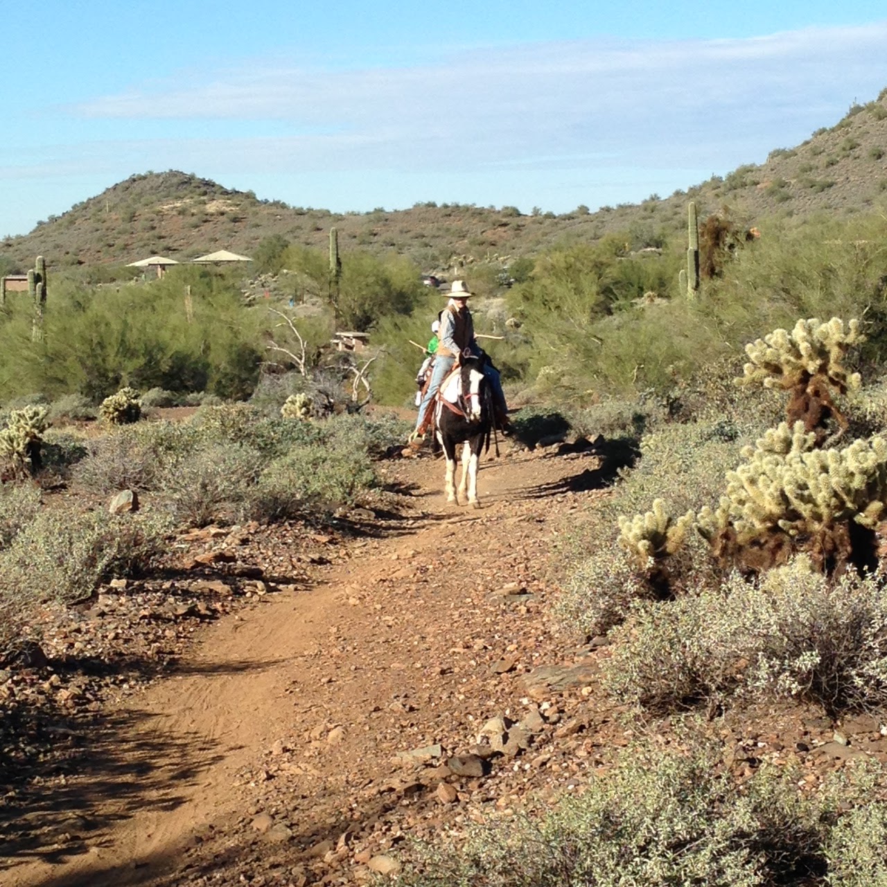
Just finished a hike and decided to do another to get to my 51 hikes by the end of the year. Since I was in the area I googled what was close and this hike was 5 miles away from where I was.

Not much to say. It is in a brand new housing development.  The trail seems to be mostly used by bicycles and maybe quads.  Some of the tire marks were pretty big.  I did not see anyone on the trail. There is a very nice park at the trailhead. A couple kids were playing and there is restrooms and water. I would not go back to this area but there are several other mountains around that may have trails.  Might go check them out with my All Trails app active.

The link above showed a couple hikes that I did not know about.  Thanks to the arizonahiking.blogspot for posting that with their hike.  It's amazing the info you can find on the internet.
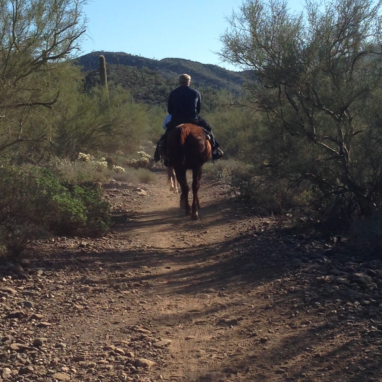
Enjoy the pictures.


There is a large parking lot and a big field where kids can play.  The trailhead is on the south end of the park. Easy to find.  I actually followed a group of kids on their bike into the trail and then they disappeared.  Never saw a soul after that. 


I am sure you could adventure into the mountains. I saw a couple paths. However my phone was not charged since I used it for this mornings hike and I did not want to get lost alone.  

View to the North

View to the East. You can see parts of the 303 to the North East. 


Entrance back into the park  


My phone was dying so I saved my MapMyHike and then started it back up. The hike was 2.4 exactly what the review said.  
Can't count this for my 100 miles in 100 days because it is not in a Maricopa Park.  But I can count it for my 51! 

Hike #43 Accomplished. 
8 to go! 

Hike #42 - Slate & Flume - Cave Creek Maricopa Park, AZ

Hike #42

Date: November 29
Hikers: Me and Jim C

Location:  Carefree Highway, AZ
Distance: 4 Miles
Rating: Easy on Slate Moderate (rocky)
Time: 1 hours 33 minutes

Trailhead Link:http://www.maricopa.gov/parks/cave_creek/
100 Miles in 100 Day Challenge:
https://www.maricopa.gov/parks/100miles.aspx

Another day to get some miles in for the 100 mile challenge.  Annual pass in hand (although Jim lost it) we are back out at a Maricopa park. 

Todays plan is a 4 miler.  We also need to do an new one.  The plan is to start on Slate and either continue to the end or take Flume for a while then turn back.  

We were passed by a couple and their crazy dogs.  Although the couple was probably crazy! 

We saw a family on horse back with a trail leader.  The kids were cute they had a stick to lightly tap the horse if needed.  They called it a happy stick.  The parents in the back did not look as happy.  

Nice chilly Arizona Morning.  The Slate trail is very easy. Beautiful sunrise view to the east.  The flume trail goes to the bottom of a wash and got rocky is some spots.  If rocks are not your thing stay straight on Slate and make is a nice easy walk in and out. 

Enjoy the pictures!


Sunrise

Rocky part of the hike


Horse Trail riders


Hike #42 Accomplished
31 of 100 done!
(Don't forget to have the Rangers sign the form)


Saturday, November 28, 2015

Hike #41 - McDowell Regional Park, Fountain Hills AZ

Hike #41

Date: November 28
Hikers: Me and Jim

Location:  McDowell Regional Park , AZ
Distance: 5.5 Miles
Rating: Easy
Time: ~1 hours

Trailhead Link:https://www.maricopa.gov/parks/mcdowell/Hiking.aspx

Post Thanksgiving holiday hike.  Jim and I are working our way to the 100 miles. Slowly but surely.

We traveled to Fountain Hills to the McDowell Mountain Regional Park.  Jim bought a season pass so we can hike more and get our moneys worth out of the pass vs 6 bucks each visit.  I have completed the 3 parks minimum for the 100 mile challenge.  Now I just need to do the hiking. 10 hikes left for my 51 new this year.  Almost there!

We stopped in the visitor center to get the pass and the woman gave us a hike that was 5.5 miles.  Something that was new too since I am still working on new hikes. This is a big bicycle park.  There is a competitive track and the Pemberton trail connects this park to Toms Thumb area.  It is highly traveled.

Today we travelled on Wagner Trail to Bluff to Granite to Wagner. It was a nice trail. Not too difficult at all. Views of Toms Thumb and surrounding mountains.  It is really cool when you can look around and know that you have hiked most of the mountains in the area.  4 Peaks is still on my list but not in the winter!!

This trail had no one on it.  We had one woman pass us and three bikes come up on us.  That was it!  Here are some pictures of our hike.  Enjoy.
Our starting point just past visitor center take a left into the campground

The Moon is still high in the sky

 We walked on the top of the bluff. Then went into a wash. At the top of the hill was a little bench.  Time for a photo op with Toms Thumb behind us.  Can't even count how many times I have hike Toms Thumb.  That one is a butt buster for sure!

Can you believe this guy had a full knee replacement in July! 

The Fountain in Fountain hills off in the distance. 

Pretty rocks. You could tell the terrain changes on this hike. 

Beautiful Crisp Morning in the AZ Desert

4 Peaks - Some Day! 

Hike #41 Accomplished!
27 miles of 100 mile challenge complete!

Sunday, November 22, 2015

Hike #40 - Spurs Crossing - Spurs Cross Regional Park, AZ

Hike #40

Date: November 22
Hikers: Me, Jim and Tina

Location:  Spur Cross, AZ
Distance: 6 Miles
Rating: Moderate (Easy in some spots but not all)
Time: ~2 hours

Trailhead Link:http://www.maricopa.gov/parks/spur_cross/

The gang is back together.  We have not hiked together since before the summer.  So lots of chatting going on.  Jim is hiking like crazy since his knee replacement.  Who knew?!

We plan to go for about an hour and turn around.  This is the trail that if we continue West we hit the Maricopa Trail that connects this park to Cave Creek via GoJohn.  Will do that soon as part of the 100 mile challenge.  Good way to hike 10 miles.

Today is sunny, little cool at the start and breezy. Perfect day.  No one here to sign our form but will have someone at another park do it next time. Keep your receipt from the signin drop fee box for the challenge and proof. Been here before a couple times but never stayed on Spur Cross the entire time.

Great Morning Hike. Enjoy the pictures:


Hike #40 Accomplished!11 to go!
100 Mile Challenge = 21.8 Down, 78.2 to Go! 


Hike #39 - Lake Pleasant - Phoenix, AZ

Hike #39

Date: November 21
Hikers: Me and Julio

Location:  Lake Pleasant AZ
Distance: 10 Miles
Rating: Moderate (Easy in some spots but not all)
Time: 3 hours

Trailhead Link:http://www.maricopa.gov/parks/lake_pleasant/

Back out to a Maricopa Park.  I only have 94.6 miles to go for the 100 mile challenge.  :)

Julio is off today and we are going to hike Wild Burro to Beardsley Trail.  Originally only planning to do a 5 miler but we kept going.

They say there are Wild Burro's on the park and we are out to find one.

HEEEE HAAAAAW is what I say! Oh Mr and Mrs Burro.  No where to be found.

The trailhead for this is at Pipe Canyon parking.  It is on the other side of the road so look for it.  On several occasions you cross streets to connect the trailheads so be careful of the cars pulling boats.


 The Wild Burro Trail ends at a restroom and picnic areas.  Cross the road and pick up the Beardsley Trail.  You can take this for another 4 miles one way. We did not see any Burro's but we see lots of poop and know they are around.  Not giving up yet!


After 2 miles on Beardsley you hit a gate. We went through the gate and headed East.


DAM!

Turn arounds mean 5 miles there 5 miles back. What?

1/8th of a mile from the end Julio says "there's a Burro"  No way!  He is correct.  A small one.  Of course he goes off trail to take a picture with his big camera and guess what happens.  A Bigger Burro appears and looks at him.  Hmmmm. Papa Burro.  Awesome Sight. We enjoyed watching them scratch on the brush and then off we went.  They do exist! COOL!


Hike #39 Accomplished.
15.8 miles done.  84.2 to go!
(stop at the entrance gate to have them sign your form)