Tuesday, October 27, 2015

Hike #33 - 32nd & Lincoln Piestewa Peak Trails Phoenix, AZ

Hike #33

Date: October 26
Hikers: Me and Tina

Location:  32nd & Lincoln Trailhead Phoenix, AZ
Distance: ~3 miles
Rating: Moderate
Time: 55 minutes

Trailhead Link:https://www.phoenix.gov/parks/trails/locations/piestewa-peak/hiking-trail-map

Been a while since Tina and I have hiked together. We decided to find a new hike at 32nd and Lincoln.  We have done the Quartz trail 8A before but I know we can loop off that and do something new.
We started at 8A Quartz Trail and the took a left at the 202 Connector. We followed the 202 to the juncture where you can continue up or head East. We stayed East.  It went down towards houses. Ran along side Lincoln Ave and then headed up into another housing development.  We turned around when we were on a housing path in someones back yard. Oops.

Nice after work hike.  Little up and downs.  Will head back soon to take the trail up and find a new path.
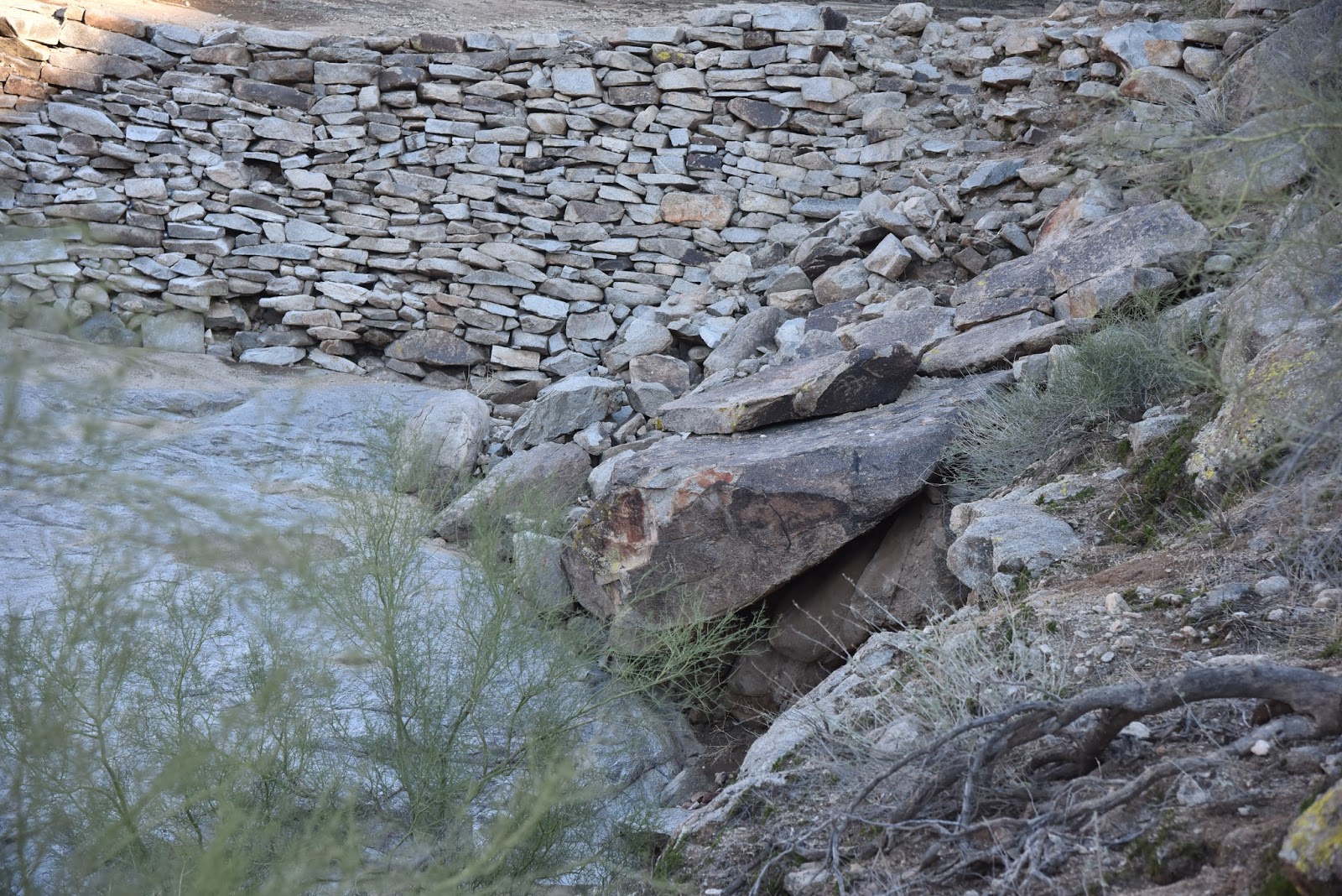
Enjoy the pictures!


Heading East 

 Opps.  I guess we are caught on camera somewhere in the Neighborhood! 


Hike #33
Accomplished! 

Sunday, October 25, 2015

Hike #32 Gray Fox Trail - White Tank Regional Park Waddell AZ

Hike #32

Date: October 25
Hikers: Me and Julio

Location: White Tank Regional Park Waddell AZ
Distance: 3 miles
Rating: Easy
Time: 52 minutes

Trailhead Link:http://www.maricopa.gov/parks/white_tank/pdf/2015/white-tank-11x17.pdf

After we finished the Waterfall hike we drove over to where the Helicopters were landing.  Then we decided to do another hike.  We went to the far end of the Regional Park.  Take the dirt road into the Sonoran Loop Competition Track.  There is a huge parking lot.  This is where they do bike racing.  On the south west corner is the trail head for Gray Fox to Ironwood Trail.

This is a very easy trail that is part of the competitive trail and eventually hooks into Ironwood and Ford Canyon trails.  Over a year ago I did Ford Canyon twice with Jim and then again with Tina.  That is a great hike but much longer.

Julio and I headed out on this trail.  We hit the Ironwood juncture and walked that til we hit the Ford Canyon intersection.  We sat for a while on a bench and looked at the East Valley.  There were very few people out hiking.  Passed a few runners and bikers.

Perfect Morning to get in two new hikes.

Enjoy the pictures.


Lots of cholla's on this hike.  Not good for dogs in my opinion. Julio had one stuck in the toe of his shoes.  Great Cactus.  Lots of crazy looking ones.

Nice flat trail. Perfect for the bikers. We saw a group of 10. They rang their bell and told us how many were behind.  I like those kind of bikers!! 


My partner in crime with his handy dandy camera.  Always better pictures than what I post here with my iPhone.  

Hike #32
Accomplished!

Hike #31 - WaterFall - White Tank Regional Park Waddell, AZ

Hike #31

Date: October 25
Hikers: Me and Julio

Location: White Tank Mountain Regional Park Waddell AZ
Distance: 2 miles
Rating: Easy
Time: 30 minutes

Trailhead Link:http://www.maricopa.gov/parks/white_tank/pdf/2015/white-tank-11x17.pdf

I have hike the White Tanks a couple times.  This morning Julio and I decided to do a Sunday morning hike.  Hit this quick one and another.

There may or may not be water depending on the time of year and recent storm activity.

This day we found No water coming down, there was only a puddle and a dark spot where the water comes down.  It was a beautiful morning. Started very sunny and no clouds but as we hiked whispy clouds appeared and it felt nice.

There were helicopter rescues going from the time we arrived to after our second hike.  Not sure if they were a rescue or training. There were two helicopters and one had a man that was holding other another person.  We saw atleast 5 trips taken.  I googled it when I came home but nothing on the local news.

Anyway.  This is a great hike for families or older people. Path is smooth and you can climb right into the waterfall.  Would be nice to go after the rain and see it.

We had a great time.

Enjoy the pictures!

Easy path. We saw lots of families walking.  Parents with kids on their backs. The entire time we were hiking there was the helicopter rescues going on.  Took away from the moment but kind of exciting. Whatever it was!  This trail does intersect with the Black Rock loop that takes you back towards the main road.


Very easy path to walk.  Once you get close to the Waterfall there are steps up to the area.  
It is a fun place. 


The black is where the water comes down.  I can't imagine being here during the monsoon.  It must be beautiful yet scary. You can see the puddle that remains after the storms.  Julio is posing!  


Perfect Seat at the WaterFall before heading to our next hike further down the road. 
Now that my ankle feels better it is time to bust a move.  
20 hikes left to complete 51 new ones in 2015. 
No Pressure!
Hike #31
Accomplished!

Someone was mad we did not take her with us!

Saturday, October 24, 2015

Hike #30 - Kiwanis Trail - South Mountain Phoenix AZ

Hike #30

Date: October 22
Hikers: Me and Julio

Location: South Mountain - Central Ave Entrance Phoenix AZ
Distance: 3.74 miles
Rating: Moderate
Time: 1 hour 30 minutes

Trailhead Link:https://www.phoenix.gov/parkssite/Documents/062880.pdf

I don't hike South Mountain often but it is the only place left that I have not hiked and there are a lot of new hikes.

Julio and I decided to do a quick hike after work before the sun went down.  This was a great option.  Gave him good photo shots and me a new hike.

The summit road is closed because the monsoons washed it out again!  So you are limited to get to the top. Hike up is the only way. :)

We went up the Kiwanis trail to the road. Then crossed the road and hiked to the National Trail.  It was a very pretty hike. Going to the little house adds another 1/2 mile to this hike.  It was a clear beautiful day. This trail has hieroglyphics and pueblo structures.

Enjoy the pictures.


Heading up National Trail

Trailhead across street from Kiwanis


Hike #30
Accomplished!


Thursday, October 22, 2015

Hike #29 - Island Trail - Walnut Canyon National Park Flagstaff AZ

Hike #29

Date: October 3
Hikers: Me, Ricky Megan and Cristina

Location: Walnut Canyon, Flagstaff AZ
Distance: 1 miles
Rating: Moderate (stairs make you huff and puff)
Time: 30 minutes

Trailhead Link:http://www.nps.gov/waca/index.htm and http://www.nps.gov/waca/planyourvisit/island-trail.htm


I must admit this is not a new hike. I have been here three times now with different people on trips to Flagstaff.  This is my first with the kids so I will call it new. (cheating)

This is a site of a pueblo community.  You can see the dwellings and learn about the history of the tribes that once lived there.  If you can not walk down or up stairs you can stand at the top of a couple lookouts.  Once you are down the stair cases the hike around is very easy and beautiful.  It is educational too. Amazing to think that people lived there and you wonder how they moved to the other dwellings that you see off the cliffs.

Enjoy the pictures and add this to your Flagstaff area visit.  Worth the price of admission!!

View of the dwelling to the West


Several flights of stairs to the Island Trail sign.  The altitude and the many steps will get your heart rate up but not for long.
Steps don't bother Ricky


LumberJack vs SunDevil


One of the many ruins you can walk in. You can see where people would live and what their life would be like. 


Dwelling behind us makes you wonder how the heck these people moved from down here to up there. There are no baby gates on these "houses". 
Team this visit to Walnut Canyon with Sunset Crater Volcano and Waputaki National Park.  There is a pass that gets you in all three and they are so close.  One of my favorite days spent in the area.  

Cristina visiting the next door neighbors.  I think they were short.


 Great Weekend visiting Megan the new NAU LumberJack!
Hike #29
Accomplished!