Date: December 13th
Hikers: Me and Megan
Location: Lake Pleasant AZ
Distance: 3.6 Miles
Rating: Moderate (Easy in some spots but not all)
Time: 1 hour 20 minutes
Trailhead Link:http://www.maricopa.gov/parks/lake_pleasant/
Back out to a Maricopa Park. 100 mile challenge is still on!
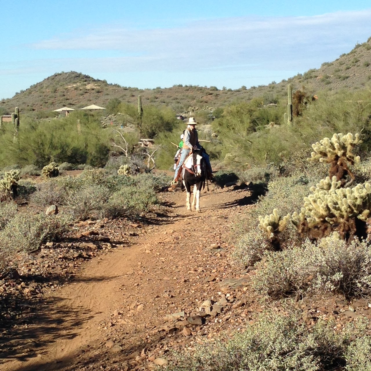
Today Megan and I are doing a hike closer to the water. It was beautiful out with no clouds in the sky. This was a very peaceful hike. We did not see many. We did see a guy and his large white golden initially on the Pipeline Trail. When we got to the top of Yavapai the man and his dog were coming up. He said he was us up here and decided to make the turn up this trail.
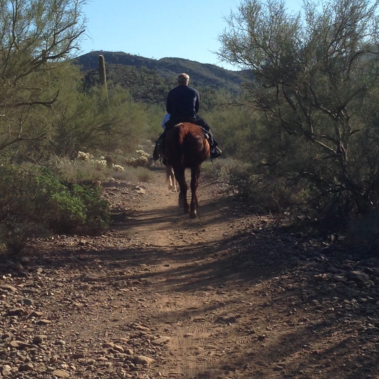
 I told Meg while we were hiking that the time I came with Julio we did the Wild Burro trail and I was doing my Burro call. HEEEEE HAAAAW! Well as we were rounding the bend toward the end there a Burro was, looking right at us. We took pictures said hello in our Burro voice and off we went. Very Cool. Worth the hike!
Great trail. I would go back and take out of owners or even someone like Julio who needs scenery.
This was hike one of two for the day but can't call the second new. We hiked Lookout to put an ornament on the christmas tree at the Saddle of the summit and three lower peaks!
Happy Holidays!
Enjoy the pictures.


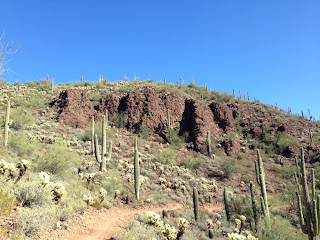
 Very Cool Cactus


Back out to a Maricopa Park. 100 mile challenge is still on!
Today Megan and I are doing a hike closer to the water. It was beautiful out with no clouds in the sky. This was a very peaceful hike. We did not see many. We did see a guy and his large white golden initially on the Pipeline Trail. When we got to the top of Yavapai the man and his dog were coming up. He said he was us up here and decided to make the turn up this trail.
 |
| Wild Burro |
This was hike one of two for the day but can't call the second new. We hiked Lookout to put an ornament on the christmas tree at the Saddle of the summit and three lower peaks!
Happy Holidays!
Enjoy the pictures.


 |
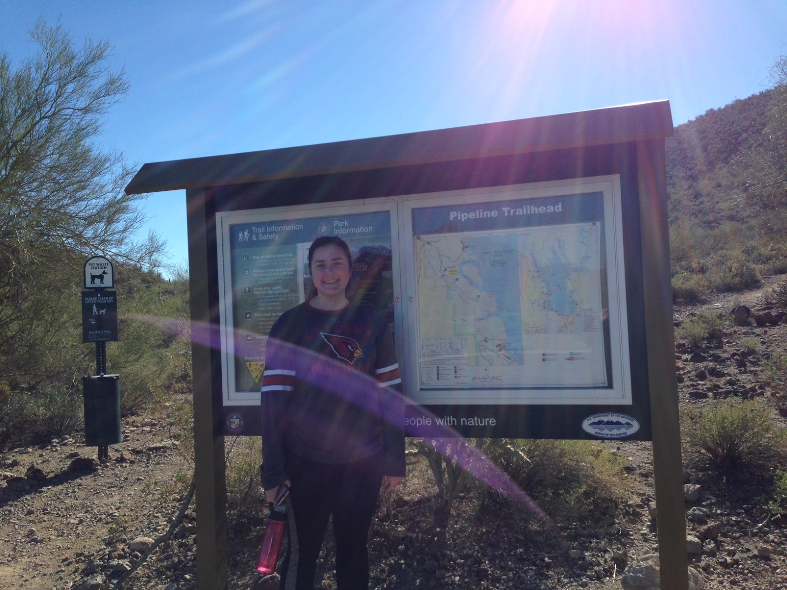
| Selfie! |

 Very Cool Cactus


 |
| Karin at the Top of Yavapai Point |
 |
| Beautiful View |

Hike #46 Accomplished!
Hike 46-2 Lookout Mountain
 |
| Plant a seed and watch it grow! |